Overlanding is great, and the sense of exploration and adventure you get from a trip off the beaten track is unrivaled.
However, there are times when you need a little more guidance for your trip, either because you’ve gone a little too far off that track, or because you’re fresh out of ideas for where to head.
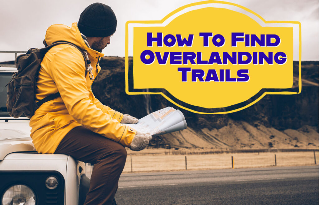
And that’s when you need to know how to find overlanding trails that you didn’t know about before.
Thankfully, there are apps and maps that will take you right to some of the best overlanding trails around, and they’re all listed below for your convenience. You’re welcome…
The Dyrt Pro App
The Dyrt Pro app is a great place to start. Yes, it’ll cost you, but it’s reasonably priced ($39.99 per year, at the time of writing this) and it has a bunch of helpful features that will make your overlanding trip an absolute breeze.
Better yet, it also doubles up as a great camping app, so if you’re looking for something that can do both, this is your best bet!
Back to overlanding though, there’s so many features that’ll help with your trip – everything from the initial planning stage to helping you out if you’ve got a little lost on the way.
One feature every overlander will use is the trip planning section. You’ve got two options: A) a recommended trip, or B) a blank trip (it doesn’t take a genius to work out which one will be used most by overlanders).
Still, the recommended trip feature has its uses. You can stick to a fully recommended trip, of course, or you can use it for inspiration to create your very own trip.
The possibilities are endless. And if you want to jump in with a blank trip, then you can find a bunch of points of interest and other important information through the app so you can find a route that works for you.
You can also share that route if you choose, or keep it to yourself, whichever you prefer.
Besides that, there’s also a fuel cost estimate feature, ways of finding the nearest fuel to you, and the best thing of all? The whole thing can be exported to Google Maps to get you on the right track. Awesome, right?
Gaia GPS App
Need to turn your phone into a handheld GPS unit?
Then the Gaia GPS app is perfect for you. You will have to pay again, of course, (currently $39.99 per year for Premium, and $99.99 per year for Premium with Outside+) but it’s worth it for the GPS unit your phone becomes when using the app alone.
Add in the fact that when you go premium, you have access to the detailed maps offline (something you’ll certainly need when overlanding since you won’t have any reliable cell service) and you’ve got an app that can make planning your overlanding trip much easier.
And isn’t that the beauty of overlanding, anyway?
You can wake up each day and form a plan, and this app will help you plan the best routes for you to get the most out of your trip.
You can also look at other member’s routes for overlanding inspiration, and look more closely at the map of where they went so you can decide if that route is right for you, or if you’d be better off taking a slightly different one.
Either way, overlanders will get a lot out of this app.
So, whether it’s in-the-field information you need access to, or a detailed map before you set off to plan the best trip, the Gaia GPS app is perfect for you and your overlanding needs.
OnX Off Road App
The OnX Off Road app is designed for overlanding, there’s no other way of saying it.
The whole app is dedicated to dirt bikes, 4x4s, ATVs and UTVs specifically, so you can go off the beaten track and explore new areas with confidence.
Again, it’ll cost you, but at the time of writing this it’s only $29.99 per year for a Premium membership, and $99.99 per year for an Elite one – so it’s reasonable.
With a Premium membership, you get access to great overlanding information.
Things like featured trails, unlimited access to saved maps for trip planning, photo waypoints so you know you’re on the right track, and much, much more.
The Elite package offers all this, as well as information about land ownership and property lines, which might not seem important, but when you’re overlanding through private property without realizing it ‘I didn’t notice the sign’ might not cut it for the property owner.
Other helpful information included in both include local weather and current trail conditions. This is important to know ahead of time when overlanding so you can plan a safe trip accordingly.
The last thing you want is for your vehicle to be trapped because of poor trail conditions, especially if you’re far away from the nearest town to seek help.
And yes, the featured trail’s information might not feel very ‘adventure-y’ but having access to information about where others have successfully planned an overlanding trip before is great for inspiration, and inspiration always encourages exploration, so the OnX Off Road app can nudge you in the right direction, before leaving you to explore a little further!
US Forest Service Maps
There’s been a lot of talk about subscriptions and cost and Premium memberships today, but there is another way.
Will you have in-field information, access to waypoints, and offline information to tell you if you’re on the right track? No.
But what you will get is a genuine sense of adventure and access to several off-grid trails you can explore for yourself – all completely free.
How? Simple, just head to the US Forest Service and request free copies of the maps in the area you’d like to explore.
It’ll have all the information you need for a safe trip, and you can keep it with you for reference with their paper maps.
Sometimes you don’t need all the latest apps and tech for a fun, safe, adventure while overlanding. Sometimes, a paper map, a packed vehicle, and your own sense of adventure are all you really need.